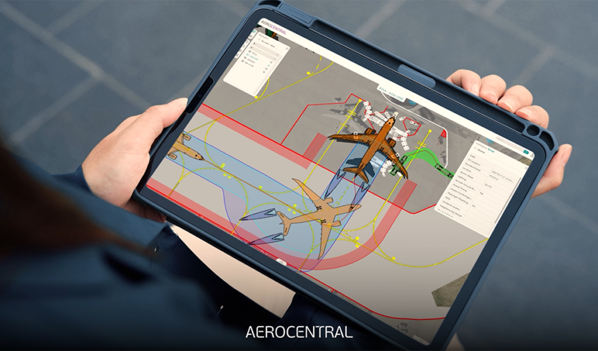
Airside Infrastructure and Operational Information
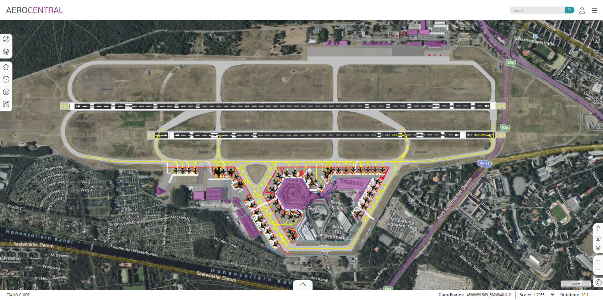
The AeroCENTRAL Stand Guide application provides airports with a cloud-based solution for sharing aircraft parking positions and associated operational information in one centralized place. Easily accessible on a range of devices, the application supports users in achieving safe and optimal operational tasks.
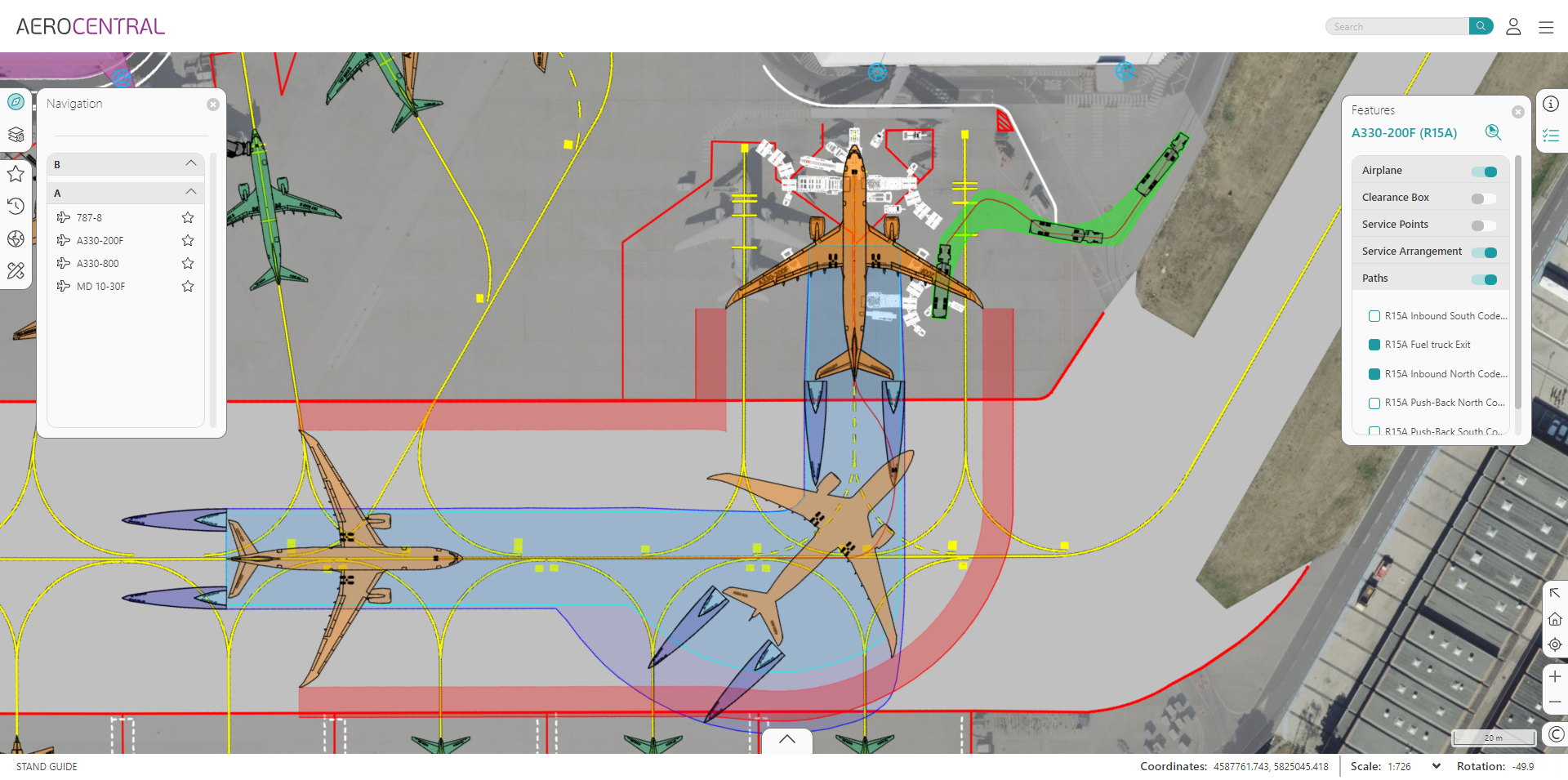
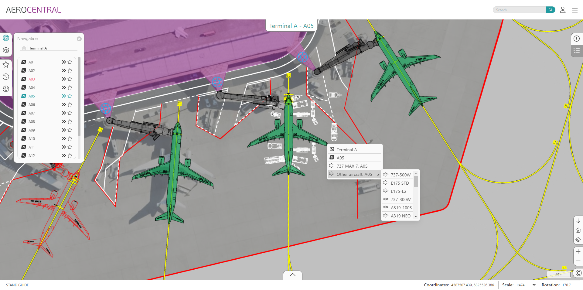
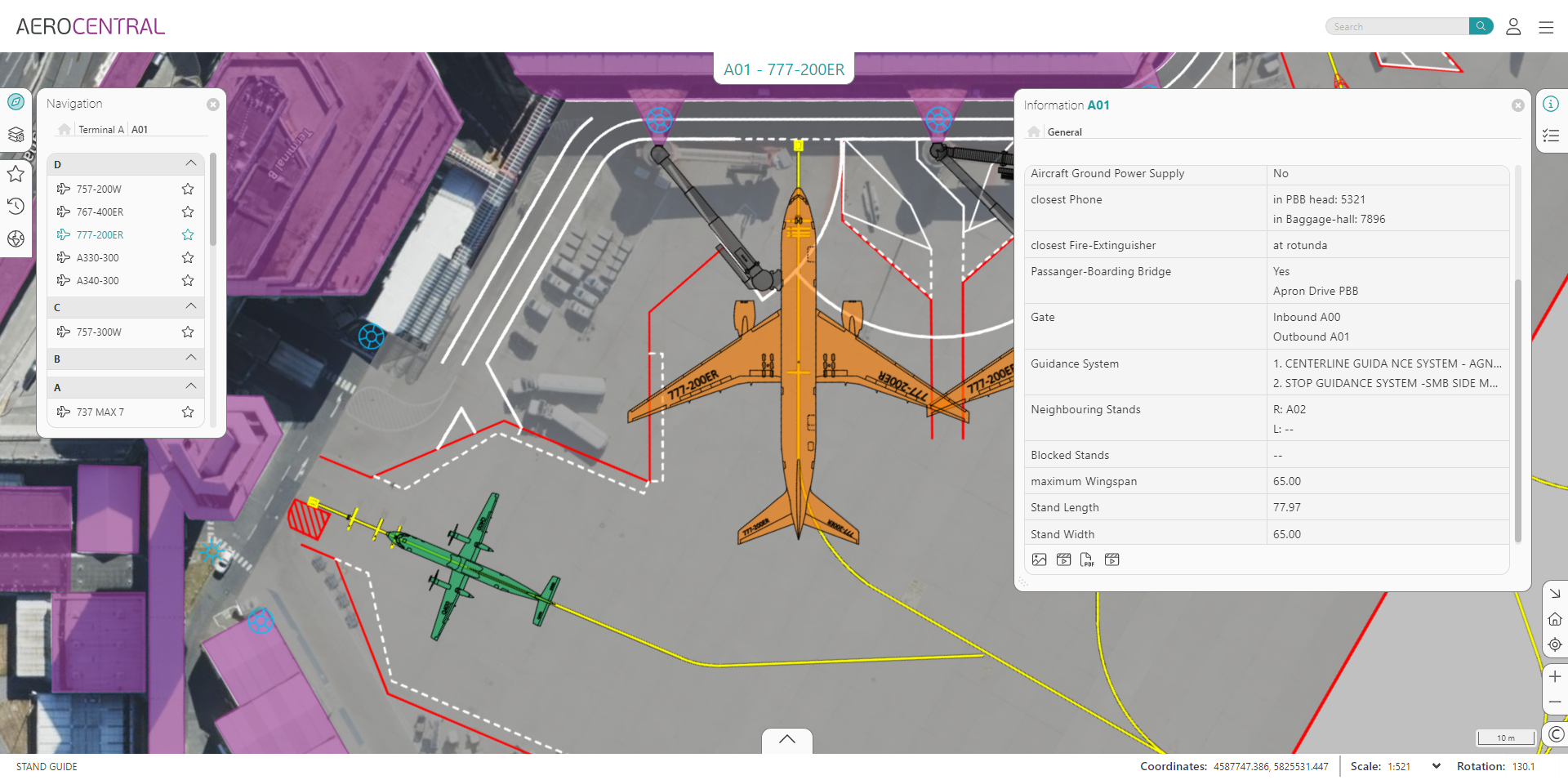
The user-friendly and intuitive map-based interface makes it convenient and simple for users of all experience and proficiency levels to use Stand Guide both in the office and on the apron. The application assists technical and operational planners, operators, airlines, ground handlers and other stakeholders to publish, distribute, and view the latest aircraft parking stand configurations, equipment locations and turnaround procedures.
Publish, distribute, and view aircraft parking and turnaround servicing guidelines, and pushback procedures.
Platform Compatibility
We strive to keep our products compatible with the latest operating systems and platforms. Find the latest product compatibility information for Transoft products.
English
What Makes AeroCENTRAL Stand Guide Unique
Reduce the risk of error
Save time and avoid the risk of error by eliminating reliance on static and potentially outdated PDF or printed documents. With the AeroCENTRAL Stand Guide application, daily operations planners always have direct access to the latest airside infrastructure and operations information, for instance stand allocation possibilities. Not only does this provide easy visualization of the allocation results for certain aircraft types, but it also shows potential parking conflicts.
Achieve safe and optimal airside operational tasks
A centralized online system helps ensure that airport operations and ground service teams access the latest designs and specifications distributed by planners and verified by operations. This helps them to allocate and perform safe and optimal aircraft parking and turnaround specific tasks without any delay.
Improve collaboration and information flow
Interactions between planners, operators, airlines, ground handlers and other stakeholders can be strengthened, as all involved stakeholders access and share relevant airside infrastructural and operational information in AeroCENTRAL Stand Guide.
Save time on information research
With relevant airside data embedded in the AeroCENTRAL platform, information can be located quickly and efficiently using common intuitive search, menu and map-driven tools.
Features
Sharing Airside Infrastructure and Operational Information
The user-friendly and intuitive Stand Guide application assists technical and operational planners, operators, airlines, ground handlers, and other stakeholders to present, distribute, and view the latest aircraft parking stand configurations, equipment locations, and turnaround procedures. Accessible on a range of devices, whether in an office or on the apron, AeroCENTRAL Stand Guide supports users to achieve safe and optimal operational tasks.
Explore Features
24/7 Operational Readiness
As an application running on the AeroCENTRAL cloud-native platform, Stand Guide is always accessible to users both in the office and on the ground. The system’s design reduces the risk of downtime significantly, so information is always available and up-to-date to maximize staff productivity.
AviPLAN Data Lifecycle Extension
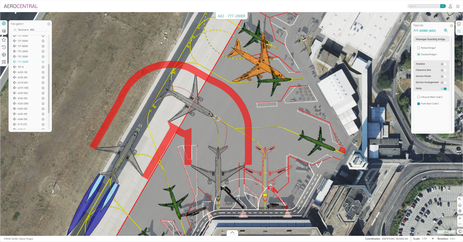
AeroCENTRAL Stand Guide is the only application on the market that is capable and authorized to migrate AviPLAN design sessions from CAD into a geographic mapping system. Stand Guide displays not only the same high-resolution AviPLAN vector graphic elements seen in CAD, but also all associated design features and object information. AviPLAN graphics and data can be shared with a wider stakeholder group than ever before, including people working airside.
Map-Based Navigation
The Stand Guide application is seamlessly integrated into the AeroCENTRAL platform’s geographic map interface. When an object is selected on the map, the view is automatically rotated and zoomed according to the user’s specified preferences. This makes it extremely fast and convenient to move from location to location and ensures that users have all relevant information at their fingertips.
Quick Information Access
Achieve quick and dynamic access to Stand Guide’s operational or planning data using the software’s guided navigation or search functionality. The menu-based Navigation panel allows users to browse through the airport-centric data hierarchy, while the Search functionality allows users to query the database for aprons, stands or aircraft types, with the results highlighted on the map.
Simplified Data Administration
Utilizing AeroCENTRAL’s file administration and staging database tools, Stand Guide’s data administration is designed to simplify the management of all relevant information. Unlike generic GIS/mapping/online tools that may not have aviation data model concepts included, Stand Guide’s data administration provides a logical methodology to create an airport-specific data model. This can easily be accomplished by technical resources with moderate knowledge of the airside facilities.
Licensing Options
Licensing is provided separately for each application; get in touch with us for additional details.
Transoft Support
We take pride in delivering complete customer satisfaction. Get help with products, downloads, technical support, and more.
My Transoft Portal
Transoft's product enhancements are periodically released to provide access to new features, enhancements, fixes and security updates. For many products, you can find these updates and download them directly from My Transoft Portal.
Software License Agreement
For information on terms and conditions detailing the usage of our software, please refer to Transoft’s Software License Agreement (SLA).
Software FAQ’s
Search our extensive product knowledgebase that address some of the most frequently asked questions regarding Transoft ‘s software.
Help Desk
Find answers to your issues on a variety of topics or submit a service request to Technical Support. Get help with downloading and installing your software, managing your account, product compatibility and much more.
Licensing Options
Transoft offers a range of licensing preferences for the majority of our software. These different options were developed to help organizations of all sizes meet their transportation design and analysis needs in the most efficient manner possible. Transoft Solutions software uses its own proprietary licensing technology that allows for ease of deployment and flexibility to upgrade at anytime.
Project Support Services
Need assistance with specialized drawings and custom content creation related to your project design work? Transoft’s team of consultants can help. We deliver fast and helpful services for clients requesting additional assistance with drawings and simulations related to their project design work.
Request a Quote
Thank you for your interest in AeroCENTRAL. Fill out the form to receive information on purchasing and licensing options or if you have questions in general about the software.
On business days, you can expect a response within 24 hours of your request.
Warning: {{image.url}} is deprecated and will be removed in 1.1; use {{image.src}} in /var/www/transoftsolutions.com/public_html/wp-content/themes/mt-transoftsolutions/vendor/timber/timber/lib/Helper.php on line 211
